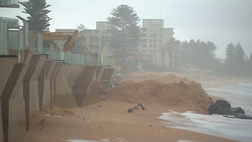
Heavy rain and powerful winds have been forecast for a chilly weekend in multiple states.
“By definition, ECLs produce any combination of damaging-to-destructive winds, heavy rainfall, flooding, or powerful, erosive surf, with the most severe ECLs producing all four together,” Weatherzone said.
The last east coast low to affect Australia formed in July 2022.
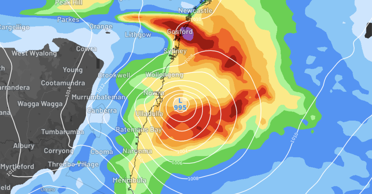
Weatherzone said the oncoming low was expected to form on Sunday afternoon, and “rapidly intensify” overnight into Monday.
Some modelling suggested the low could continue strengthening into next Tuesday.

Although it’s not certain, it’s thought the NSW South Coast and Tasmania’s north-east will be the most affected.
“However, heavy rainfall, damaging winds and powerful surf are possible all the way from Newcastle and Sydney in NSW to East Gippsland in Victoria, and down the (Tasmania) coast to Hobart,” Weatherzone said.
“Historically, heavy rainfall has also pushed in as far inland as Canberra and the Snowy Mountains (where it may fall as snow like in July 2020 – when a system brought snow from the less common easterly direction).”
The heaviest rainfall totals from the low are likely to reach 100-200mm, with isolated pockets of 250mm or more.
Guts of up to 120km/h are also anticipated, along with potential waves of up to seven metres.


