NSW is set to cop an end-of-week drenching with Sydney rivers on flood watch and warnings of significant rainfall south of Sydney.
It will be a soggy Thursday for those in Sydney’s southern suburbs, with the rain becoming more intense towards Wollongong. The Bureau of Meteorology has a severe weather warning in place for rain and flash flooding from the Illawarra to the South Coast.
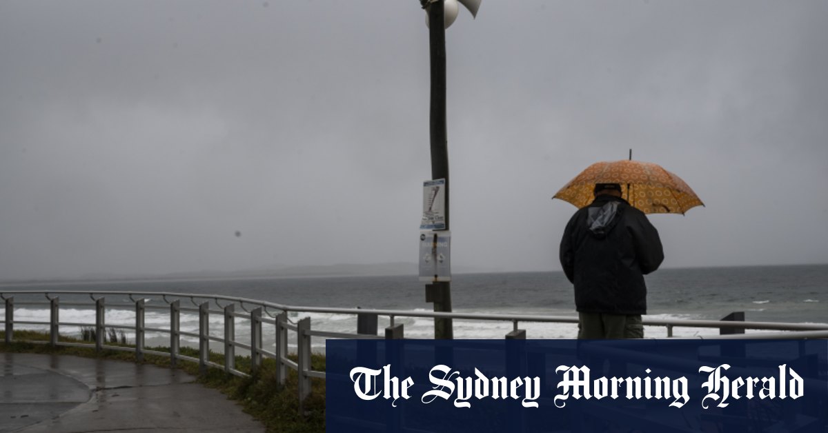
Sydney could receive up to 60mm of rain on Thursday. Credit: Sam Mooy
The rain began in earnest overnight, and Sydney is predicted to receive up to 60mm on Thursday.
The weather bureau says six-hourly rainfall totals of between 50 and 90mm are likely and isolated totals of 120mm are possible in areas covered by the severe weather warning. For 24-hourly rainfall totals, between 100 and 150mm are likely with isolated totals of 250mm possible.
“In particular it’ll be a wet day through Thursday for the southern suburbs of Sydney, through the Illawarra district, the South Coast and the Central and Southern Tablelands where a severe weather warning for heavy rainfall is in place,” senior meteorologist at the bureau Angus Hines said.
“At the moment, there are three flood warnings in place for eastern NSW. All of these are minor flood warnings for St Georges Basin and then the Cooks River near Sydney, and a little further north away from today’s heavy rainfall for the Hastings River.”
The bureau has also released a number of flood watch locations, warning residents near these rivers to stay up to date with warnings as moderate flooding is likely in the Nepean, Hawkesbury, Georges and Woronora rivers.
Catchments are already relatively wet after recent rainfall, increasing the flood risk.

