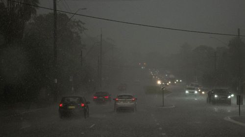
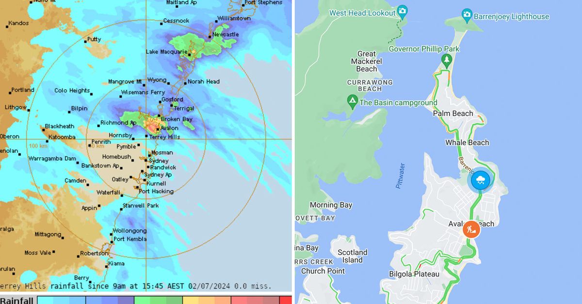
The deluge this afternoon caused flash flooding with Avalon Beach seemingly at the epicentre.
Trees were uprooted and thrown onto cars, roads inundated and hail was also reported.
The NSW SES said it has already responded to 40 calls for help today, mostly across the Northern Beaches and Lower Hunter regions since the storm swept through.
The only main road north to Whale Beach and Palm Beach – Barrenjoey Road, flooded and is blocked off from the intersection of Whale Beach Road, north of Avalon.

Traffic is affected in both directions and drivers are being told to avoid the area if they can.
However the rainfall itself has eased in the northern parts of Sydney by 4pm, with the Bureau of Meteorology cancelling its severe weather warning for the area.
Australia recorded its first temperature of -10C for the year, in a tiny town located on Tasmania’s Central Plateau.
A weather station near Liawenee registered the chilly -10.8C reading just after 7.30am.
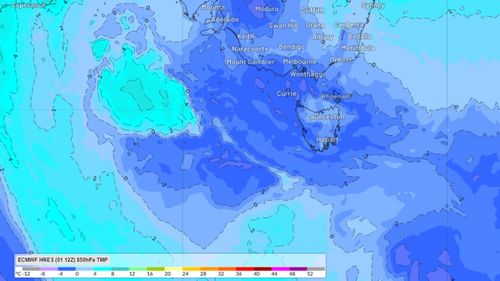
Slightly further north Victoria is also shivering, and Melbourne could be on track to its coldest week in 11 years.

Under the influence of a stubborn high-pressure system which is not likely to move until late this week or into the next.
In Melbourne the mornings could be 5C or colder all week and if this happens it would be the coldest week since June 2013.
Wednesday is forecast to be the chilliest morning, with the minimum expected to drop to just 1C in the city.
Further out, Horsham, Bendigo, Ballarat are all forecast to drop to between –1C and -3C.

