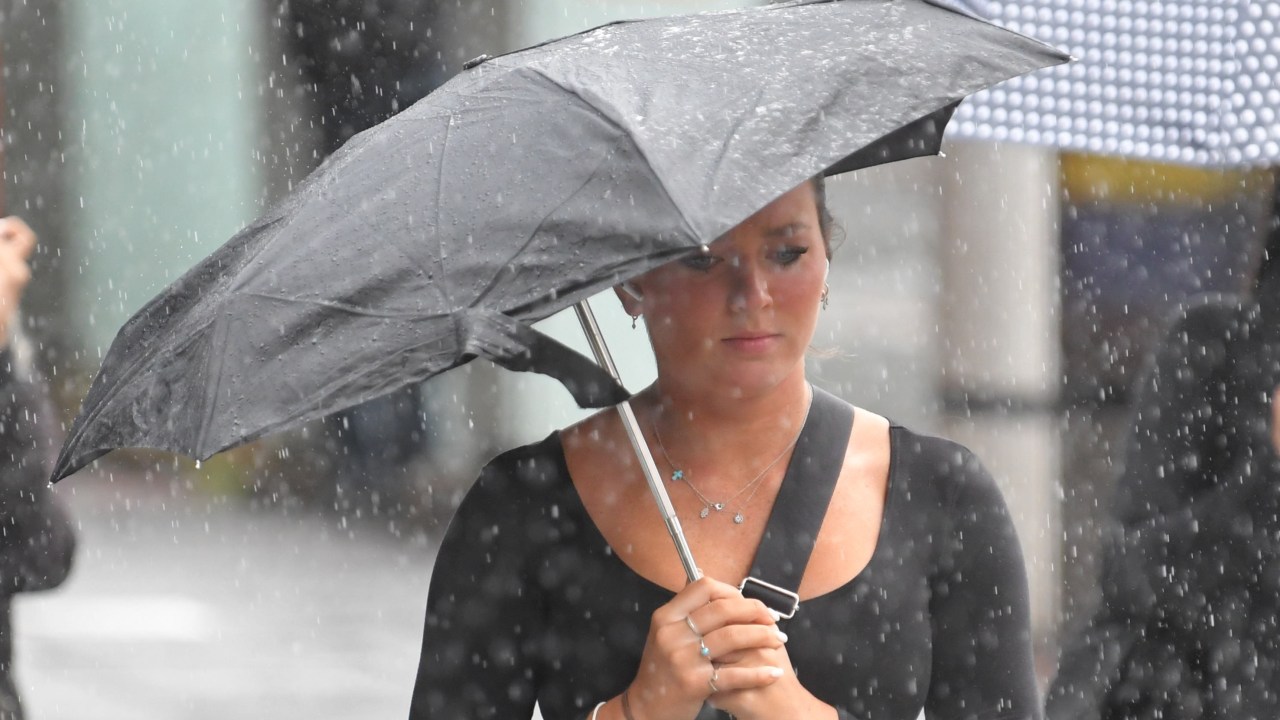
Australians are set for even more wet weather in the coming days, with rain rolling towards large parts of the country and the alpine regions preparing for some welcome snowfall.
A wet weather front over Western Australia is heading through south-eastern parts of the country on Friday through Saturday.
It will largely impact inland areas of NSW, with the state’s north coast also likely to experience a wet weather dumping this weekend.
Sky News Weather Meteorologist Rob Sharpe on Thursday warned residents living on the east coast to expect the wet weather system to hit the region late on Saturday.
“We’ve got a fair bit of rain following through, it’s starting off with this WA weather event that’s unfolding at the moment,” he said.
“Then late Saturday into Sunday that system will cross NSW, especially impacting inland areas but even the NSW north coast is likely to see some wet weather out of it and a chance for Sydney and further south.
“But by Saturday and Sunday that system will be pushing up towards and across southern parts of Queensland.”
In a closer look, there is a chance of showers in Sydney during Saturday afternoon and evening as well as light winds.
There’s a high chance of showers for Sydneysiders on Sunday, becoming less likely during the afternoon through to the evening.
Meanwhile, the Australian ski fields have woken up to a fresh layer of snow on Thursday morning, with more on the way.
Most of the ski resorts in NSW reported about 5cm of snowfall overnight and Thredbo reported 16cm.
A reasonable snow event is set to continue Saturday through Sunday with about 20cm of snowfall possible for most resorts this weekend.
Further, Queensland is experiencing a record-breaking winter soaking this week, with some areas in the Southeast region recording over 60mm of rain overnight.
“We’ve seen some pretty big falls even over 70 mm in some spots overnight into this morning,” Mr Sharpe said.
“Yesterday the target was the central coast around Airlie Beach down to McKay.
“But since then, the focus has been Moranbah to Rockhampton and surrounds where this rain band is being incessant.
“Rockhampton (recorded) 42 mm (of rain), that’s the wettest June date in close to a decade.”
He said Yeppoon recorded 73 mm and Moranbah recorded 60mm, which was a “very large fall one of the biggest June dates on record there”.
Overnight into Friday, conditions will ease back, drying up for the east of Queensland with just a few showers for the rest of the week.

