Much-needed rain is arriving across southern parts of Australia this week, while chilly conditions are set to continue for one capital city.
Cold fronts are starting to bring rainfall to parts of Western Australia, South Australia, Victoria and Tasmania that have been parched for months.
The conditions have been a worry for farmers, with the moisture level in soils dropping dramatically.
The first band of rain reached WA and SA on the weekend and showers are expected across Victoria and Tasmania later today.
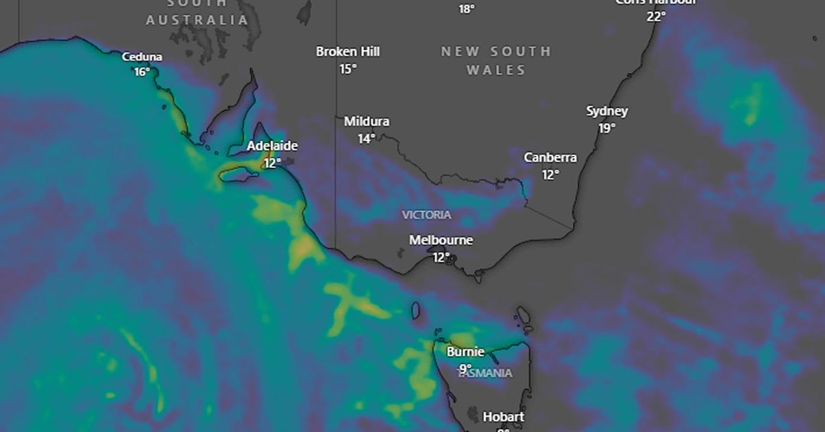
The next front is currently brewing in the Southern Ocean about 3000km to the south-west of WA and will arrive on Wednesday, ushering in a second round of showers, isolated thunderstorms and gusty winds for parts of WA until next Saturday, SA on Friday and Saturday, and Victoria and Tasmania on the weekend.
These systems are set to deliver widespread falls of 5mm to 15mm during the next seven days with several regions looking at 20mm to 60mm, with the heaviest falls forecast for coastal and mountainous regions.
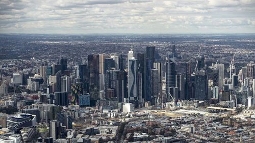
Meanwhile, the chilly weather in Melbourne is forecast to continue over coming days, with the mercury struggling to reach 14 degrees.
The temperature hasn’t climbed above 15 degrees since June 11 when it was 16.8 degrees.

And the outlook isn’t good.
July is traditionally Melbourne’s coldest month with an average maximum temperature of 14.5 degrees.
After being soaked by heavy rain on the weekend, Sydney residents can look forward to sunny weather for much of this week, with temperatures up to 20 degrees in some parts.

