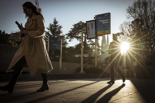
Millions of people across eastern Australia are pulling on their woolies and beanies today as a polar blast of chilly weather sweeps across multiple states.
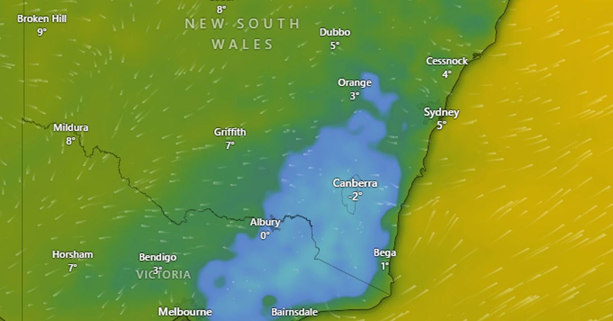
Sydney is forecast to record its lowest temperature in two years early today, with the mercury plunging below 5 degrees, but the wind chill has made it feel more like a frigid 2 degrees.
That figure puts it on track to be the city’s coldest morning in two years, smashing the previous mark of 5.2 degrees, and its coolest June morning since 2010. But Sydney’s Western suburbs will be several degrees chillier and some places will likely be cold enough for frost.
Meanwhile, early today in Melbourne the mercury reached a low of 3 degrees, but for the city’s residents it felt more like zero degrees.
Even Queensland is feeling the impact of the cold blast, with Brisbane shivering through a top temperature of 8 degrees but the apparent temperature more like 6 degrees.
The polar blast over south-eastern states has been has been caused by a cold and dry air mass interacting with clear skies and light winds beneath a narrow high-pressure ridge.
Narrow ridges are notorious for causing cold mornings in south-eastern Australia during winter. This is because the central region of these high-pressure ridges, where you find the lightest winds and clear skies that are conducive to nocturnal radiative cooling, arrives relatively quickly after the passage of a cold front.
This week’s frosty weather pattern has allowed temperatures to plummet below -7 degrees in Tasmania and Victoria, while parts of New South Wales have shivered through close to -9 degrees.

Minimum temperatures in Sydney are forecast to start to climb from tomorrow – which is the winter solstice in Australia, marking the shortest day and longest night of the year – as wind, cloud and moisture increase with the passage of a low-pressure trough.
But the minimum temperatures in Sydney and Melbourne will remain cold through the weekend into next week.

