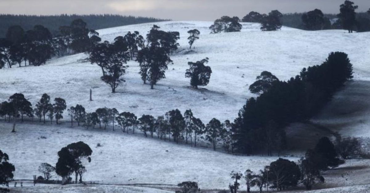
A significant burst of snow is forecast for large parts of southeastern Australia next week.
Last winter, snow falls were largely restricted to the high alpine regions of New South Wales, Victoria and Tasmania, but this year is shaping to be different.
Falls are likely next week in places such as the Blue Mountains and the Southern, Central and Northern Tablelands in NSW; elevated parts of the ACT and perhaps Canberra; high regions of Victoria beyond the ski fields; and possibly the Granite Belt in southern Queensland.
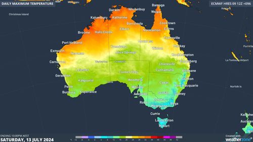
The cold air is set to reach southeastern Australia by Saturday, with single-digit maximums likely in higher areas.
It will mark the start of a prolonged outbreak of frigid air blown from the Antarctic that will impact multiple states for most of the week.
Weatherzone meteorologist Felix Levesque says the NSW Central Tablelands could see snow flurries at higher levels around 12000m as early as Sunday night and Monday morning, with the possibility of snow increasing throughout Monday and Tuesday as more moisture arrives.
Snow around midweek is also quite likely in the Barrington Tops just northwest of Newcastle.
The Northern Tablelands should also get their share, including the town of Guyra, which at 1330m is Australia’s highest town outside the alpine region.

Further south, the snow line on the mainland will drop to about 700m by midweek. Most of Canberra lies at or just below 600m, so snow in the city is possible
Victoria will also see snowfalls at times in places beyond the mountains that rarely see a settled cover, while in Tasmania the snowline should be about 700m.
The approaching weather system means good news for the ski resorts.
Snow cover beyond the snowmaking slopes is currently thin at the higher Australian resorts and non-existent at lower ones.

