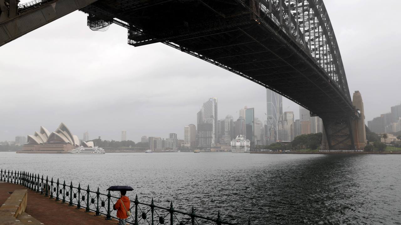
Sydneysiders are bracing for another wet and windy weekend after the NSW capital has already experienced almost double its average June rainfall in just the first half of the month.
The rain will start during the day on Friday with most of the east coast experiencing showers up until Saturday afternoon.
While temperatures are expected to remain in the mid to high teens, Aussies can expect to feel the cold with some gusty winds hitting the coastal areas.
Sky News Australia Meteorologist Alison Osborne said the high-pressure system from the south of Tasmania and a broad complex low-pressure system near New Zealand will create a “slingshot of onshore winds” for the east coast.
“Clockwise winds around one (and) anti-clockwise winds around the other (will create) a slingshot of onshore winds in quite a decent southerly surge for the NSW coast,” she said.
The oncoming wind and rain will mark the sixth weekend out of the last seven that Sydneysiders have had a showery weekend, with particularly heavy rain expected this weekend, Ms Osborne said.
“By the end of the weekend the heaviest falls from the metropolitan (area) through to the Hunter (will mean) potentially upwards of 30mms maybe nudging 40,” Ms Osbourne said.
The deluge will come after Sydney has “already seen almost twice the monthly average for June already”, she added.
The windy and wet weather could potentially mean hazardous surf warnings at NSW coastal beaches, however there’s no worries of potential flooding.
Ms Osbourne said this huge dump of rain was not typical of this time of year considering the density of the downpour.
“In terms of the fact that we’ve seen twice the monthly average, then no it’s not (typical),” she said.
The silver lining to the rain on Friday and Saturday is Sydneysiders won’t have to worry about a particularly chilly morning on Saturday as the temperature is expected to remain in the low double digits in the early hours.
However, as the clouds clear the temperature will fall to about 8C on Sunday morning after the clouds clear and the mornings will only get chillier from there with mid-to-low single digit temperatures expected for the mornings of early next week.

