A series of roll clouds could be seen stretching more than 300 km over eastern NSW on Tuesday afternoon, extending from Bowral to Nelsons Bay and beyond.
The satellite image below shows the series of parallel roll clouds sitting over eastern NSW in the early afternoon.
The clouds were even more captivating from the ground, stretching from horizon to horizon cutting a long path beneath patches of higher cirrus cloud.
Video: Tuesday’s roll clouds seen from Crackneck Lookout in Bateau Bay, NSW.
The roll clouds were produced by atmospheric gravity waves that formed over eastern NSW on Tuesday morning. These invisible waves in the atmosphere caused elongated areas of rising air that cooled enough to produce parallel bands of cloud. These roll cloud then drifted towards the east and passed over Sydney, Newcastle and surrounding areas of eastern NSW.
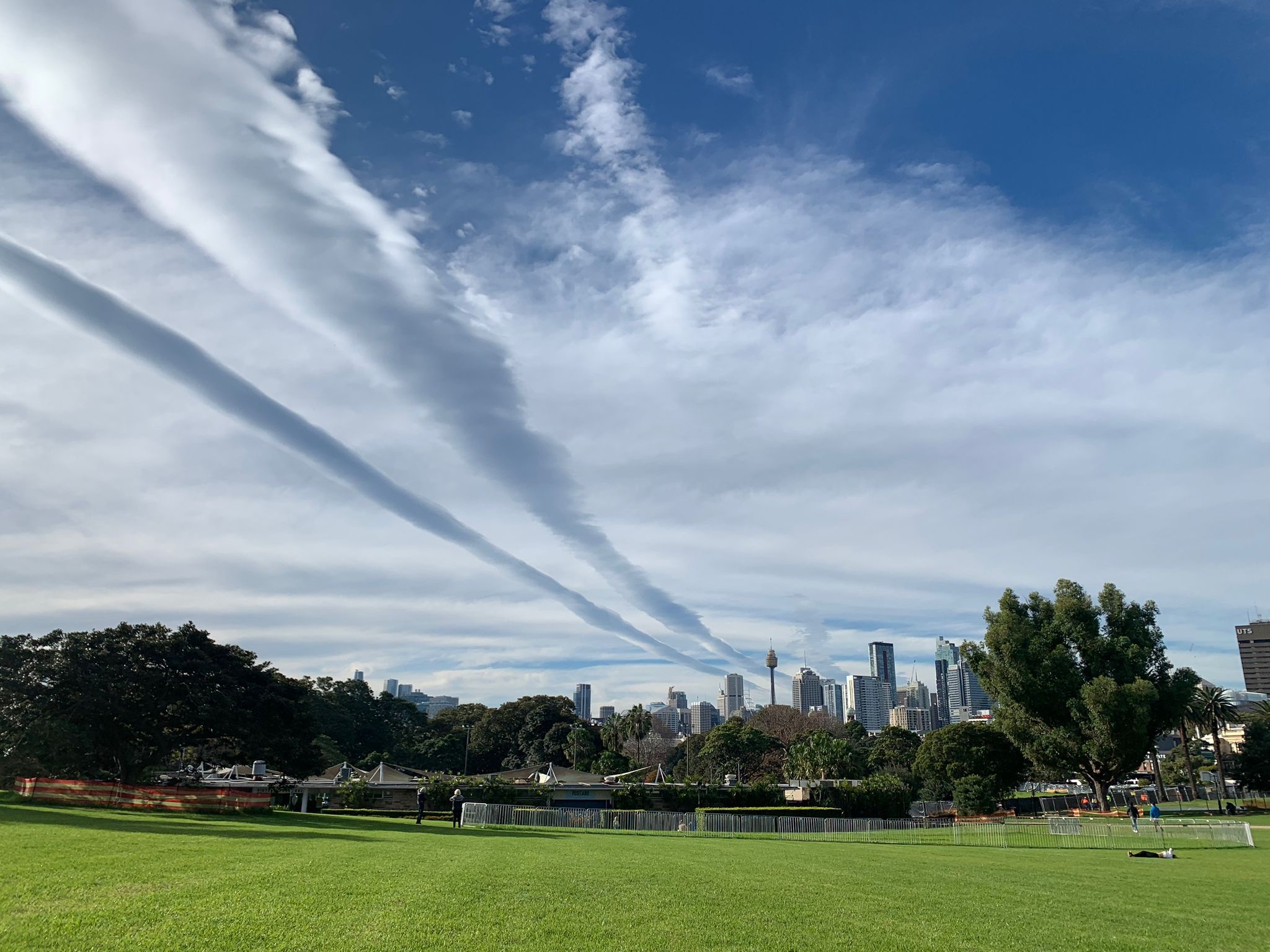
Image: The roll clouds in Sydney on Tuesday afternoon. Source: Stella Sharwood
The roll clouds that passed over eastern NSW on Tuesday were similar to the famous morning glory clouds that develop near the Gulf of Carpentaria in northern Australia.